Boundary Disputes / Legal Plans
Boundary disputes and land registry compliant services are provided in a fully supported form within the Greenhatch Group.
We offer a bespoke solution for the investigation of boundary disputes utilising a combination of physical site survey data capture overlaid with legal documents and title deeds. This allows us to identify affecting areas and provide effective and clear advice regarding any potential areas of conflict.
We also offer a service to provide fully compliant Land Registry documents for use with land purchase transactions and other legal commitments.
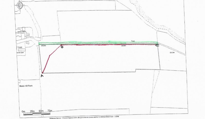
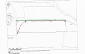
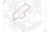
Examples of such reports and data are identified below:

Speak To Our Topographical Survey Experts, on+44 (0)1332 830044
OR EMAIL YOUR ENQUIRY
TOPOGRAPHICAL SURVEYS INCLUDE:
Large & small scale topographical surveys
Earthwork quantities & volumetrics
Photo-montage surveys
Land Registry compliant plans and area calculations
As-built plans
Provision of geospatial data and mapping
RESOURCES USED:
GEOMAX ZOOM 90 TOTAL STATIONS
GEOMAX ZENITH 15
LEICA VIVA TS15 & TS16 REDM 1" TOTAL STATIONS
LEICA GS08 & TRIMBLE R10 GNSS RECEIVERS LINKED TO OS ACTIVE NETWORK
TRIMBLE SX10 MULTI-STATION
LEICA P40 3D SCANNER
UAV's