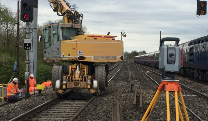
Geospatial Surveys
The Greenhatch Group Ltd have over 35 Years of experience in carrying out all forms of Geospatial Surveys. The business has expanded over time to now employ over 120 staff situated in a number of regional offices which cover the length and breadth of the UK, together with overseas work in Europe and the Middle East.
Greenhatch Group understand that sites can come in all shapes and sizes and the company always responds with an interest to all projects no matter the size, large or small. We utilise cutting edge survey technologies such as Laser Scanning, Mobile Mapping and Aerial Imaging to ensure we can provide a cost efficient and high quality service to all manner of private, commercial and government department clients.
GREENHATCH COVID19 RISK ASSESSMENT REPORT


Speak To Our Survey Experts +44 (0)1332 830044
Downloadable PDF Case Studies
-
Topographical Survey - Fountains Abbey, Ripon, Yorkshire
Download -
Laser Scanning - Hayla Tower, Abu Dhabi
Download -
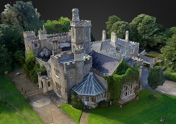
SfM Photogrammetric Survey - Uphill Manor, Weston Super Mare
Download -
3D Revit Model - Former Post Office, Dundee
Download -
Walthamstowe School - Measured Building to BIM Survey
Download -
Stonehenge - 3D Laser Scan Survey
Download
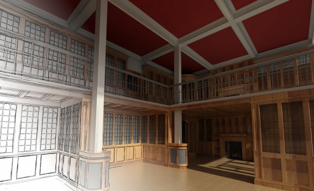
3D Visualisation
We Supply Surface Material Renderings Available for 3D Visualisation Within Revit